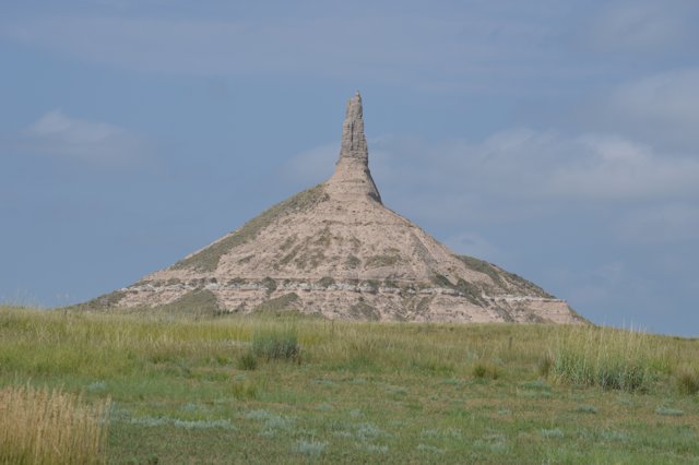
Western Nebraska has some interesting geological formations in an area called Scottsbluff. This area was on several of the pioneer trails leading to Oregon, California and the Salt Lake. The geological formations were used as a waypoint on the trail and let the pioneers know that they were 1/3 of the way to their destination. It also told them that the trail, flat and somewhat easy up to this point, would get much harder from here on heading west.
It was named after an early mountain man who became ill and his companions left him behind to recuperate. Instead he died and they found his bones on their return trip.
In the late 1840s thousands of pioneers headed through this area, some drawings and paintings from that era showed covered wagons 8-10 abreast and as far as the eye can see going past the bluffs.
Chimney Rock is a few miles east of the Scottsbluff area itself, and there are some other formations along a ridgeline. There is photographic evidence that Chimney Rock is a few feet shorter than it was back in the pioneer days, so you have to wonder how much longer it will look like it does now before it flattens out like some of the other formations.
The chimney is not volcanic lava as some other chimney rocks are. It’s comprised of volcanic ash and sandstone layers that were compressed over a long period of time, and then started eroding slowly by the wind.
After seeing so much of Nebraska be so flat, it was interesting to see these bluffs rising in the distance.
Here are some pictures we took:

