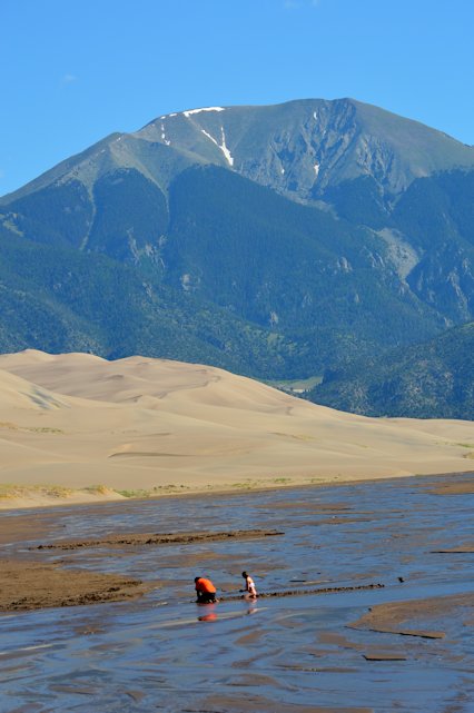
Our first stop in Colorado is Alamosa, the nearest town to the Great Sand Dunes. The area is in a huge, almost totally flat valley. When you look closer you’ll see that what seems flat is really low dunes, held in place by the vegatation. The valley is ringed by the San Luis Mountains on the west and the Rockies on the east. The prevailing winds come from the west blowing sand and grit from the San Luis mountains across the valley floor, but is then diverted north and back to the west by the tall mountains. Any sand and grit that blows all the way across the valley is deposited in one area by the winds, forming the dunes. The dunes are held in this one small area of the valley by these winds.
It is estimated that the dunes are over 300 feet deep (below what we see as the surface, and the tallest dune rises over 750 feet high. It is also estimated that the dunes are over 440,000 years old.
Two rivers run down from the peaks of the eastern mountains and help form the boundary of the dunes. The one on the south is shallow and wide, and can be crossed by visitors to the sand dunes. This time of year the deepest part was about 2 inches, barely covering the toes. But the sand is deep and smooth.
We crossed the stream and walked around on the dunes. We didn’t hike up any – we are at over 8,000 feet and walking in sand is hard enough, but add a 40 degree upslope and it’s almost impossible!
Here are some pictures we took:

