All posts by paula

Wind Cave – one of several caves in the Black Hills

We learned that there are several caves and caverns in the Black Hills.  We visited two of them, the first is Wind Cave (look for a post with pictures of the second one shortly).  It’s the first cave that became a National Park, back in 1905 and contains a huge area of land around the cave itself so that the forests and hills are protected.

There is a herd of bison in the national park, as well as lots of deer, antelope, and long-horn sheep.  We didn’t see many animals while driving to the cave though 🙁

But, the cave itself is interesting.  As with most of the caves in this area, there are very few stalagmites and stalactites due to a low amount of water seeping into the caves.  There are, however, formations called boxworks which were formed when carbolic acid (the mixture of water and CO2) seeped through the ground containing a mixture of fossilized sea creatures and gypsum, dissolving the fossils but was not acidy enough to dissolve the gypsum, so you’re left with lacy, spiderwebby looking formations.  Here is one picture of the boxworks:

And, here are more pictures of the cave:

Crazy Horse Memorial – have you ever heard of it?!?

There is a second huge stone monument in the process of being built in the Black Hills not too far from Mr. Rushmore.  It’s a memorial to Crazy Horse, a Lakota Sioux indian chief who refused to sign a treaty and move his people to a reservation and was stabbed in the back by a soldier while under a flag of truce when he was only 35 years old.

When the American Indians in this area learned about Mt. Rushmore they wanted to have a monument as well, to honor one of their heroes.  They asked a sculptor who had won some national awards to come and build it.  He started it in the 1940s and it’s still only partially done because it’s being done with NO federal money – it’s all donations!

The sculptor, Korczak Ziolkowski, first did a small sculpture, similar to how Mt. Rushmore was done, and then used it as a scale to calculate where each section of the mountain needed to be blasted and shaped.

Here is the Crazy Horse memorial with Mt. Rushmore alongside the head of Crazy Horse.  This is close to actual scale of the two monuments!  This shows how HUGE the Crazy Horse memorial will be when completed.

This next picture shows the small sculpture next to the mountain, to show what it will look like when completed:

And here’s a picture showing the mountain that is being carved:


Mt. Rushmore

While in South Dakota, we drove to Mt. Rushmore.  I always thought Mt. Rushmore was right next to the town of Sturgis, SD because I’d seen a commercial for the motorcycle rally that showed the main street of Sturgis and Mt. Rushmore was right there big as life.

Well, that was incorrect!  Mt. Rushmore is almost an hour from Sturgis and is way out in the middle of the Black Hills area.  Beautiful country though!  The road we took was very winding and narrow and had several places where the road actually looped around itself to gain height up/down the mountain!  Also, there were some tunnels that were one-lane…you drove to the entrance, stopped and looked and honked, and if nobody was coming you could go through the tunnel.  Interesting!!

Mt. Rushmore itself is very impressive!  It was built during the depression and created jobs for a lot of men.  There were several setbacks during the construction, one of which was a crack in the rock that required the face of Washington be shifted a bit in the middle of making it so the crack wouldn’t cause his nose to fall off (yipes!)

The visitors area is impressive – you park and walk up some stairs and through a sort of gateway and then – there it is!  Several people would just stop in their tracks right there to take a picture, so you have to watch where you’re going to avoid bumping into them LOL

Here are pictures we took of the mountain:

Devils Tower!

We’re in Belle Fourche, SD now to visit the Devils Tower and Mt. Rushmore.  Yesterday we visited the Devils Tower.  It’s very impressive!  Jutting out of what otherwise is a scene of rolling gentle green hills.

It was formed by a volcano pushing molten lava upwards towards the earth surface approx. 50 millions years go – but it didn’t make it all the way to the surface.  Instead it cooled slowly with the top about 1.5 miles underground.  Over time the earth around it was eroded through mostly rivers that run through the area, snow and rainmelt etc. so that the lava flow came to the surface.  As it’s so much harder than the surrounding rock and earth, it is eroding much, much more slowly.

It is eroding, rainfall on the top seeps into cracks, plants start to grow, snow and ice expand down in the cracks etc. so that periodically the vertical columns will give way and crash down.  The last large columnar fall was about 10,000 years ago although small rocks fall periodically.

The native Americans of the area have a story that some children were chased by a huge, supernatural bear and the forest animals told the children to stand on a rock which then started rising into the air.  The bear clawed at the rock to get to the children but couldn’t, and that’s what caused the vertical column effect.

The native Americans also called this tower the Bear’s Lodge.  A group of soldiers who came to the area asked an interpreter what the name was and he mistakenly said it was “Bad Gods Tower”.  The soldiers changed it from Bad Gods to Devils.  Some people use “Devil’s” instead of the plural, the name is controversial for almost everyone it seems.

Even today the native Americans consider this sacred ground.  They often come to the area to pray and tie cloth or bundles in the trees as prayer bundles.  Tourists are asked to not photograph the bundles out of respect, so we have no pictures of these although they were all around.

In addition to hiking trails around the base of the tower, people can climb the tower.  It takes experienced rock climbers to make this climb however since it’s pretty much straight up and then straight down!  We saw some climbers and took a few pictures, in the gallery below you’ll see that I put orange pointers to the rock climbers so you can see where they are.  Brave people!!

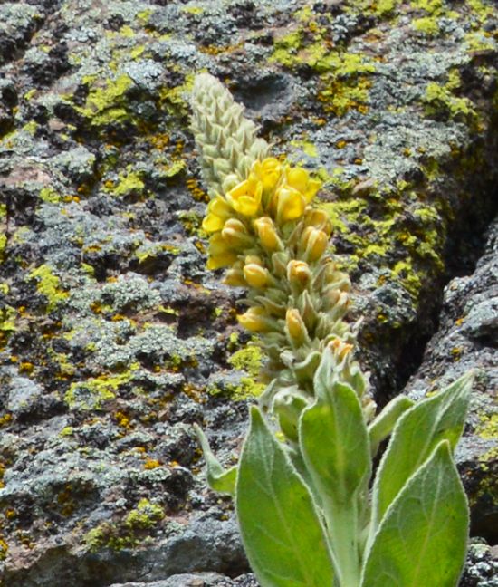
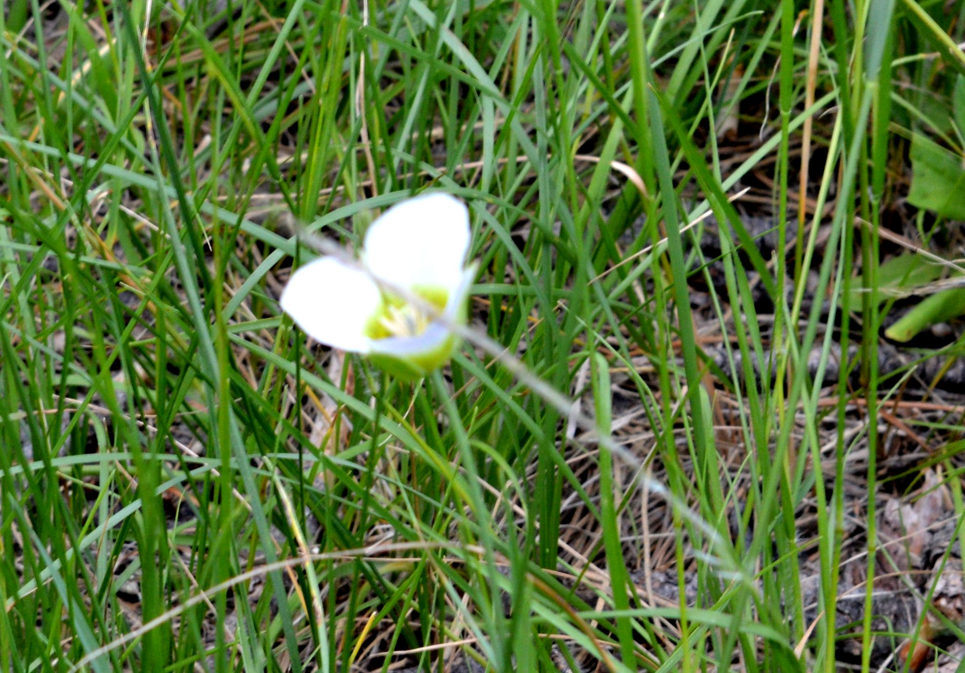
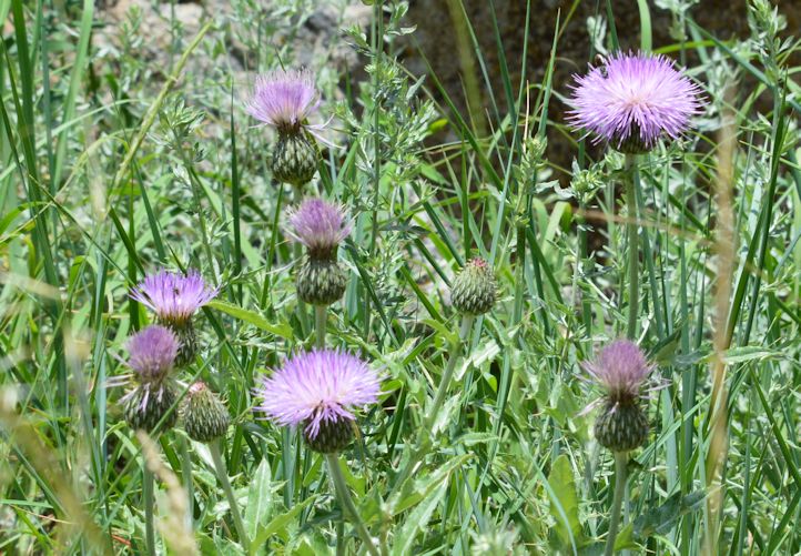
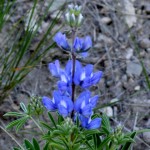
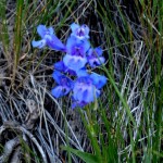
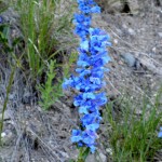
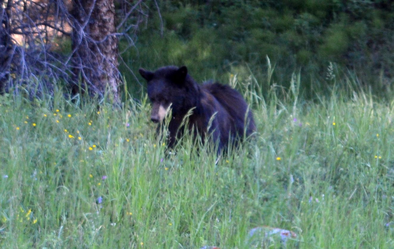
Here are pictures we took:

Black bear, elk with large antlers, and scenery in the Lamar Valley area

We took our last trip into Yellowstone yesterday as we leave the area tomorrow.  We decided to drive through Lamar Valley which is at the opposite end of the park from where we are staying, so it was about a 2.5 hour drive just to get there!  But, it’s a beautiful area!  The valley is long and deep and has a river running through it, and because of that there was a HUGE herd of bison there.  Unfortunately, the distance from the road to where the bison were was too great for any pictures – you would have seen a large valley with small brown bumps in it LOL

But, we did get some great shots of the scenery around that part of the park.  Rugged mountains, still snow in the higher parts (and it was 85 yesterday afternoon!!) and waterfalls.

We planned our trip so we would be driving through a lot of the area during the early evening hours when animals are more active, or so we’ve been told.  We did see a black bear and a large elk with a large rack of antlers.

Here are photos we took yesterday: